


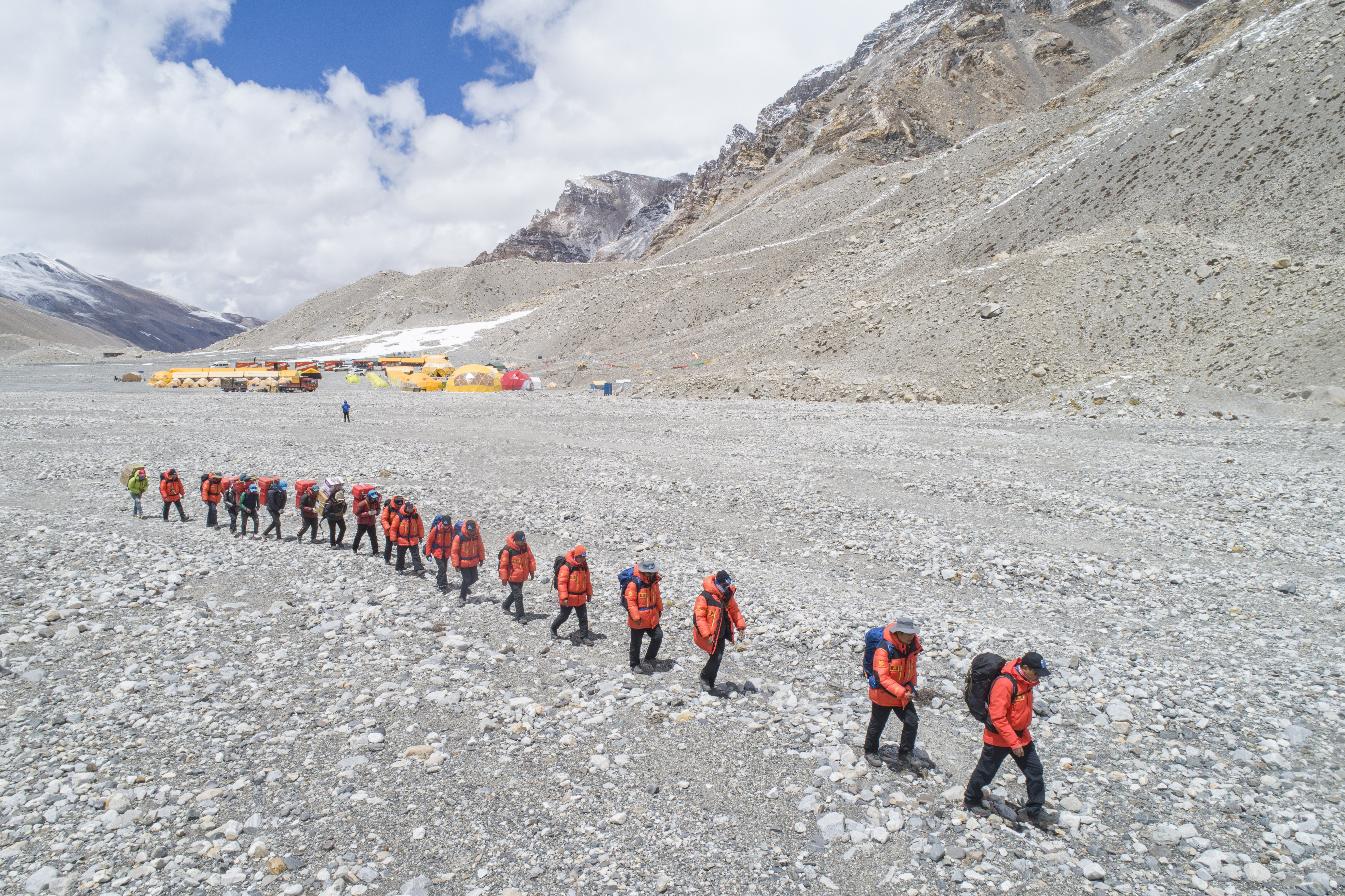
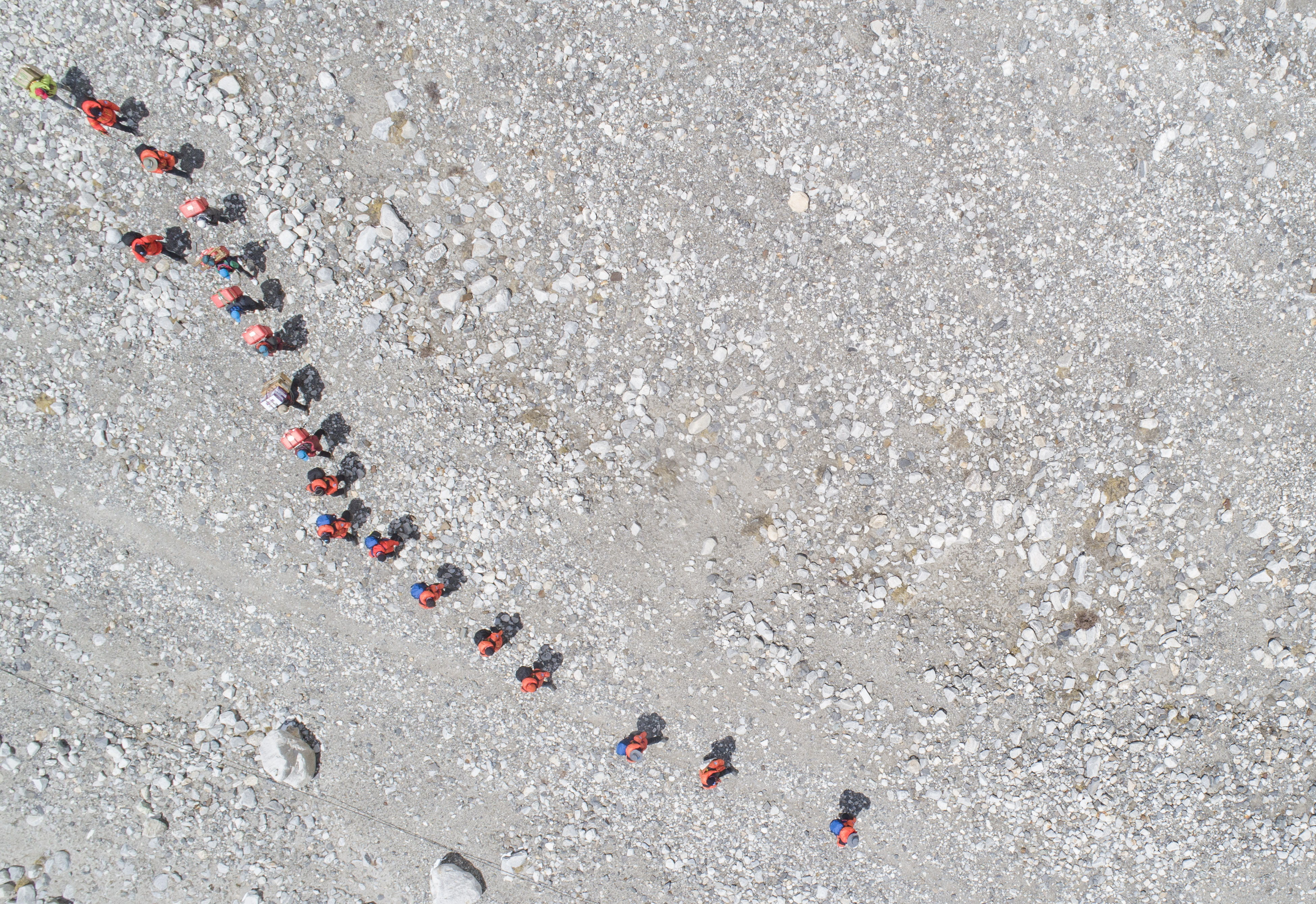
Xue Qiangqiang and his teammates depart from the base camp of Mount Qomolangma in southwest China's Tibet Autonomous Region, in this aerial photo taken on May 2, 2020. (Xinhua/Sun Fei)
Chinese surveyors prepare to remeasure the height of Mt. Qomolangma in May.
MOUNT QOMOLANGMA BASE CAMP, May 3 (Xinhua) -- It is the first time for Xue Qiangqiang, 37, to ascend Mount Qomolangma, the world's highest peak. He is a member of a Chinese team to remeasure the mountain's height in May.
Xue works for the First Land Measurement Team under the Ministry of Natural Resources, which is organizing the ascent and survey along with the Ministry of Foreign Affairs, the General Administration of Sport and the government of Tibet Autonomous Region.
Though the official announcement of the survey was made on Thursday, preparations have been going on for some time. Since March 2, 53 members of the team, including Xue, have conducted preliminary leveling, gravity, global navigation satellite system, and astronomical surveys at the mountain and its peripheral areas.
The final ascent to the peak is planned in May when the weather allows, said Li Guopeng, team chief.
Xue's job is to manage an observation point at the western Rongpo glacier, about 5,600 meters above sea level. It is one of the six points to conduct intersection surveys using trigonometry, the traditional method of height measuring.
Since the founding of the People's Republic of China in 1949, Chinese surveyors have conducted six rounds of scaled measurement and scientific research on Mount Qomolangma and released the height of the peak twice in 1975 and 2005, which was 8,848.13 meters and 8,844.43 meters, respectively.
This time, the team is using both traditional and modern surveying and mapping technologies such as GNSS satellite survey, precision leveling, geodimeter, snow depth radar survey, gravity survey, astronomical survey and satellite remote sensing, said Li. China's BeiDou Navigation Satellite System and homegrown surveying equipment are applied to the measurement.
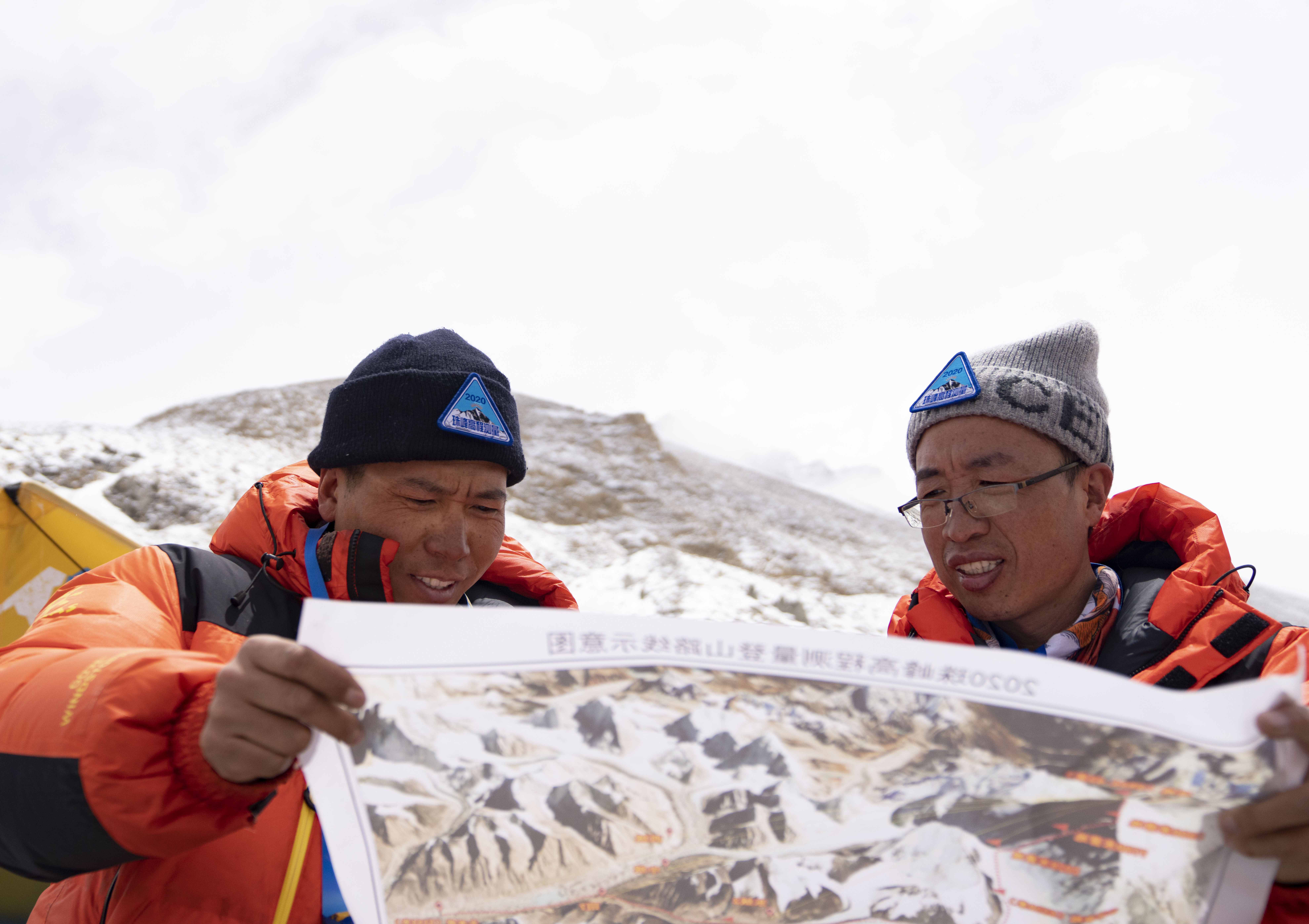
Xue Qiangqiang (L) and his teammate view a map at the base camp of Mount Qomolangma in southwest China's Tibet Autonomous Region, May 2, 2020. (Xinhua/Purbu Zhaxi)
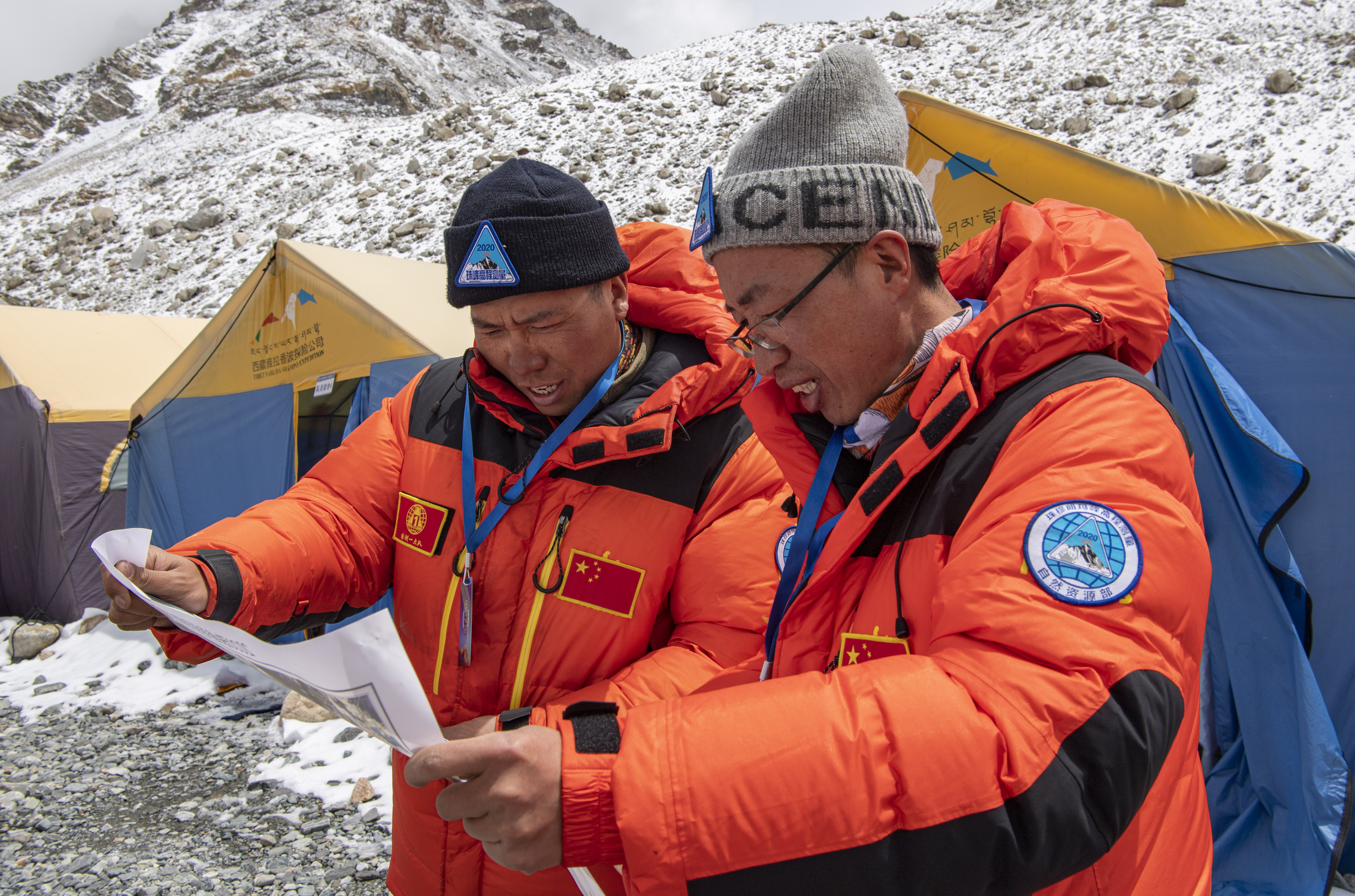
Xue Qiangqiang (L) and his teammate view a map at the base camp of Mount Qomolangma in southwest China's Tibet Autonomous Region, May 2, 2020. (Xinhua/Jigme Dorje)
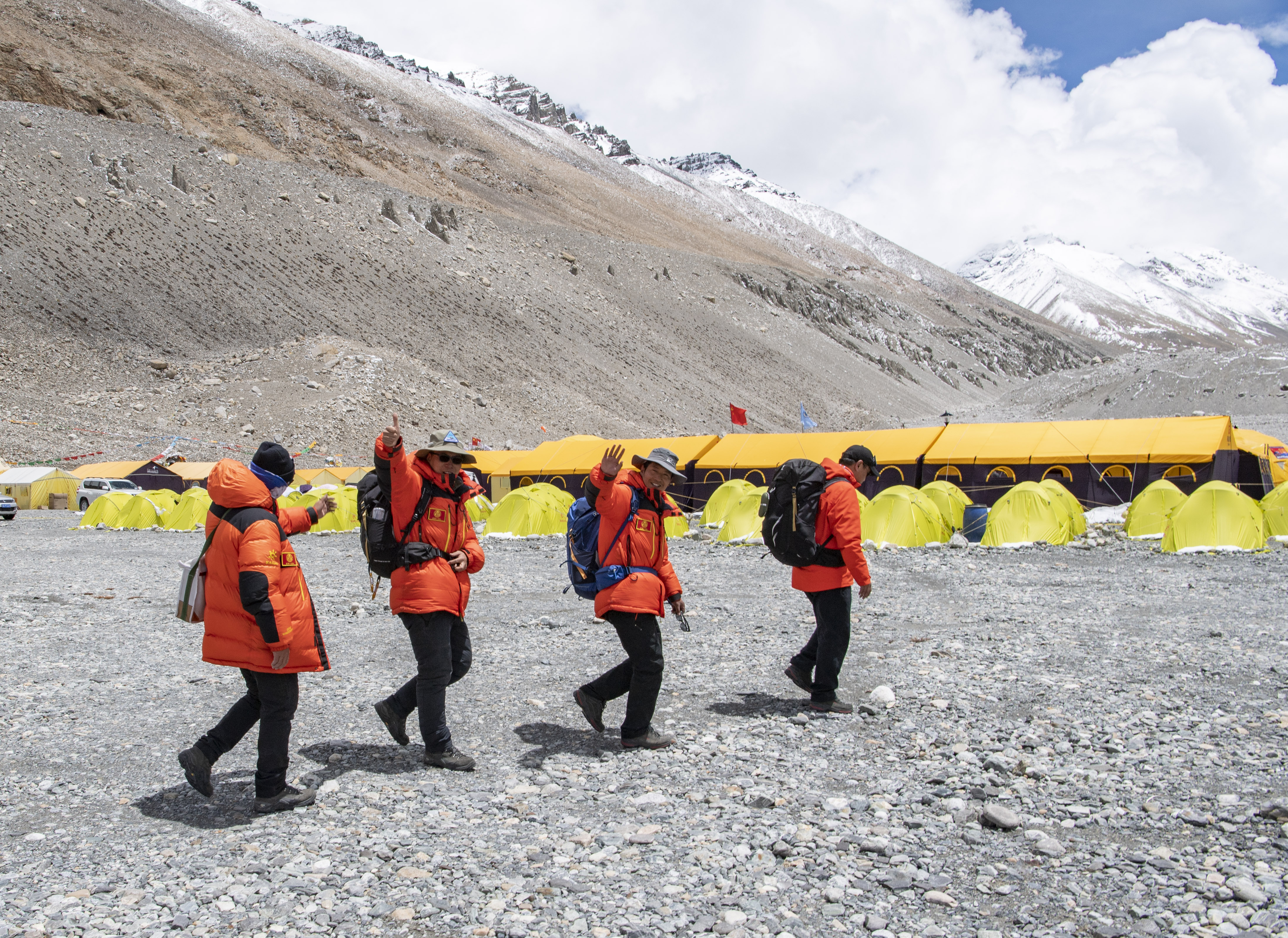
Xue Qiangqiang and his teammates depart from the base camp of Mount Qomolangma in southwest China's Tibet Autonomous Region, May 2, 2020. (Xinhua/Jigme Dorje)
China's re-measurement of the mountain comes at a year that marks the 65th anniversary of the establishment of diplomatic relations between China and Nepal. It also marks the 60th anniversary of human beings reaching the summit of Mount Qomolangma via the north ridge, as well as the 45th anniversary of China accurately measuring and announcing the height of the peak for the first time.
Xue Qiangqiang and his teammates depart from the base camp of Mount Qomolangma in southwest China's Tibet Autonomous Region, in this aerial photo taken on May 2, 2020. (Xinhua/Jigme Dorje)
