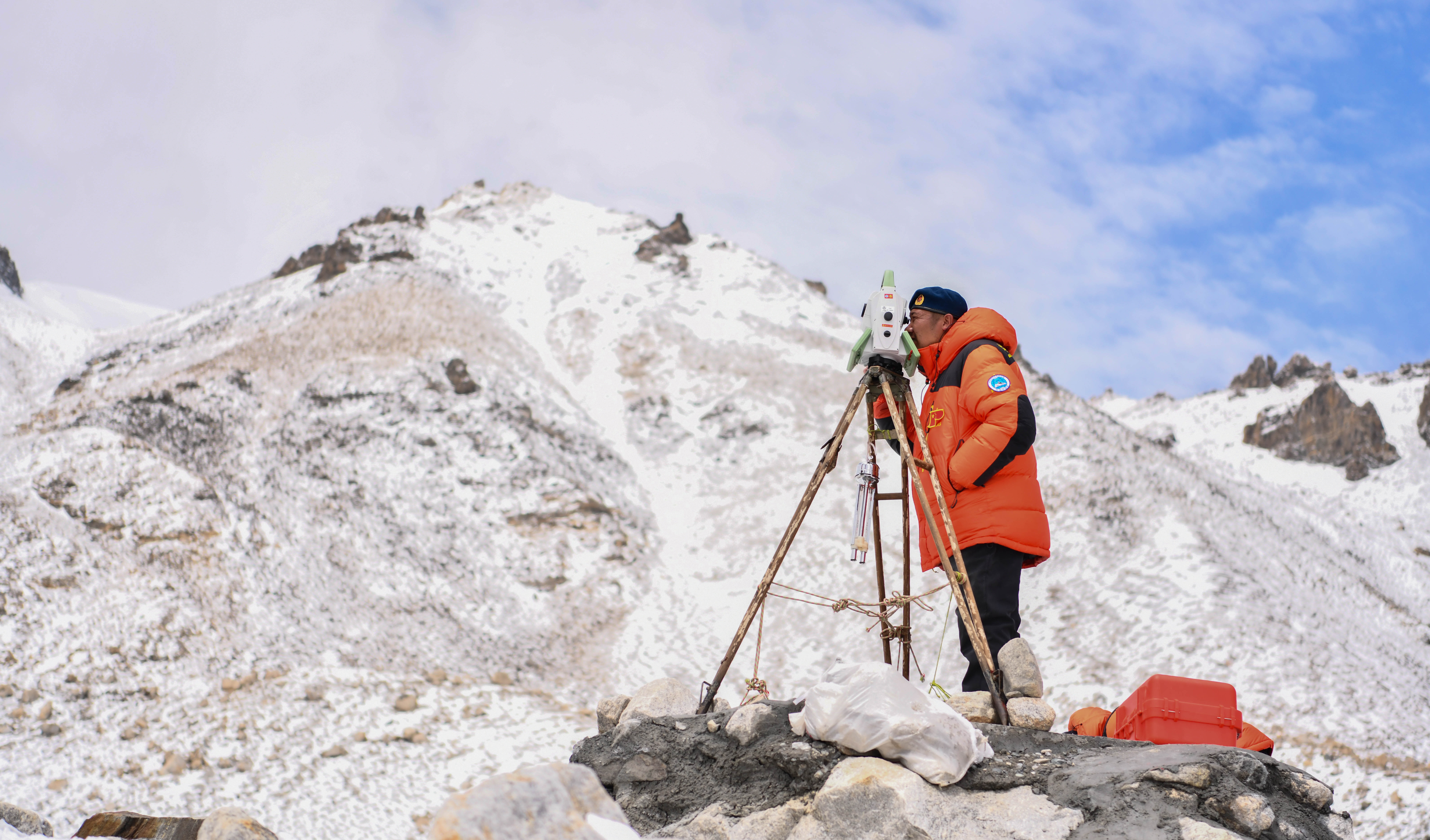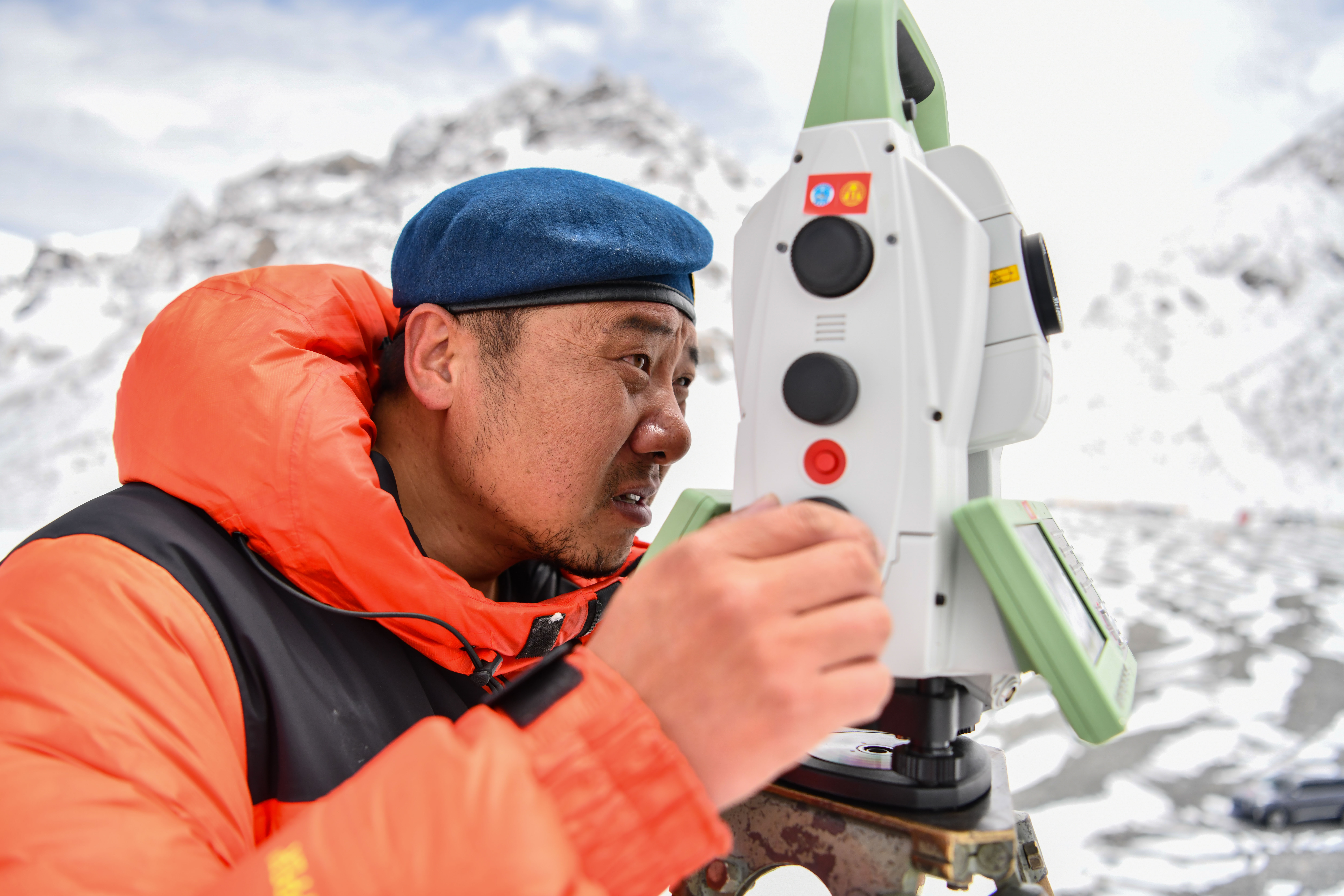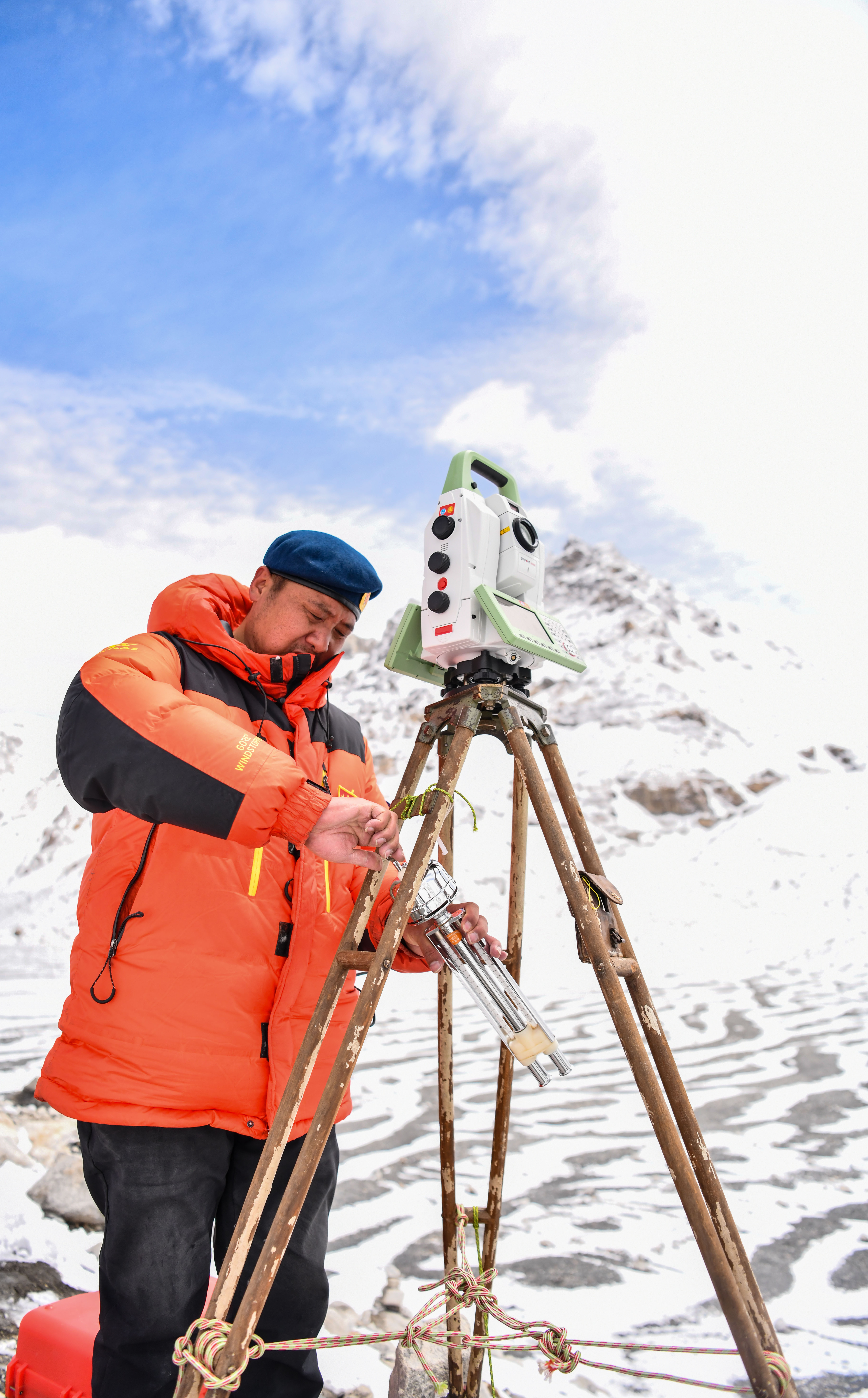
Chinese surveyor Zheng Lin conducts surveying at Mount Qomolangma base camp in southwest China's Tibet Autonomous Region on May 27, 2020. (Xinhua/Purbu Zhaxi)
MOUNT QOMOLANGMA BASE CAMP, May 28 (Xinhua) -- It will probably take two to three months for scientists to calculate and release the exact height of Mount Qomolangma, said China's Ministry of Natural Resources on Wednesday.
A Chinese survey team reached the summit of Mount Qomolangma Wednesday and remeasured the height of the world's highest peak. After summiting at 11 a.m., the eight-member team erected a survey marker and installed a GNSS antenna on the snow-covered peak, which measures less than 20 square meters, while other surveyors conducted observations from six points beneath the peak.

Chinese surveyor Zheng Lin conducts surveying at Mount Qomolangma base camp in southwest China's Tibet Autonomous Region on May 27, 2020. (Xinhua/Sun Fei)

Chinese surveyor Zheng Lin conducts surveying at Mount Qomolangma base camp in southwest China's Tibet Autonomous Region on May 27, 2020. (Xinhua/Jigme Dorje)

Chinese surveyor Zheng Lin conducts surveying at Mount Qomolangma base camp in southwest China's Tibet Autonomous Region on May 27, 2020. (Xinhua/Jigme Dorje)

Chinese surveyor Zheng Lin conducts surveying at Mount Qomolangma base camp in southwest China's Tibet Autonomous Region on May 27, 2020. (Xinhua/Sun Fei)


