BEIJING, May 12 (Xinhua) -- China has released a risk map of marine disasters and called for measures to prevent and mitigate the risk of such disasters.
The map, released by the Ministry of Natural Resources Friday, shows high-risk coastal areas including the estuaries of the Yangtze and Zhujiang rivers, the Leizhou Peninsula, and some parts of the northern coast of the Hainan Island.
Major marine disasters include sea ice, storms, typhoons and tsunamis. Rising sea levels also affect coastal areas, including economically developed cities with large populations, such as Tianjin and Shanghai.
China is one of the world's countries most affected by marine disasters. From 2001 to 2017, direct economic losses caused by marine disasters totaled more than 207.5 billion yuan (about 32.8 billion U.S. dollars).
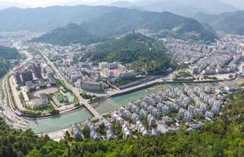
Coastal areas have become China's most densely populated areas. But due to global climate change, the risk of marine disasters continues to increase.
"China will take further efforts to monitor, assess, and mitigate disaster risks, and will shift focus from post-disaster relief to disaster prevention," said Wang Hong, head of the State Oceanic Administration, at a press conference on the risk map held Friday in Beijing.
Saturday is China's national day for disaster prevention and relief, marked annually on May 12.